Repmus 2026: From land to sea with FACNAV
Sarah Gerhardsen
3 November 2026
2 min read
During the Repmus 2026 exercise, the Royal Norwegian Navy used Teleplan’s FACNAV system to keep track of dozens of drones in the air, on the surface and underwater. At the same time, the system was developed further while the exercise was underway.
“The pace was high the whole way through. What we learned on Monday could be in use by Tuesday.”
Trond is the Product Owner for FACNAV Fires at Teleplan and has a background in the Royal Norwegian Navy. At Repmus, he led the company’s contribution. At its peak, around 15 Teleplan employees were on site in Portugal, and more than 20 were involved over the four-week exercise.
Repmus stands for “Robotic Experimentation and Prototyping with Maritime Unmanned Systems”. The exercise is organised by the Portuguese Navy in collaboration with partners, including NATO and the European Defence Agency (EDA). This year, it was held in Tróia and Sesimbra. The Portuguese Navy describes it as the world’s largest exercise of its kind, with more than 300 unmanned systems and participants from 36 navies, as well as research institutions and industry.
One shared operational picture
During the exercise, the participating nations were divided into a friendly and a hostile side. Norway, along with Sweden and Finland, was assigned to the “hostiles”, facing a far larger and more diverse “friendly” force.
Day by day, they trained on different scenarios, such as protecting an area, gathering information or carrying out offensive operations against ships and unmanned systems. The most demanding scenarios came towards the end, with joint coordinated attack and defence of a coastal strip.
Although FACNAV, Teleplan’s battle management system (BMS), is used elsewhere in the Norwegian Armed Forces, the Navy had little prior experience with it. That made for plenty of new lessons when it was used as command-and-control support for the Norwegian delegation during the exercise.
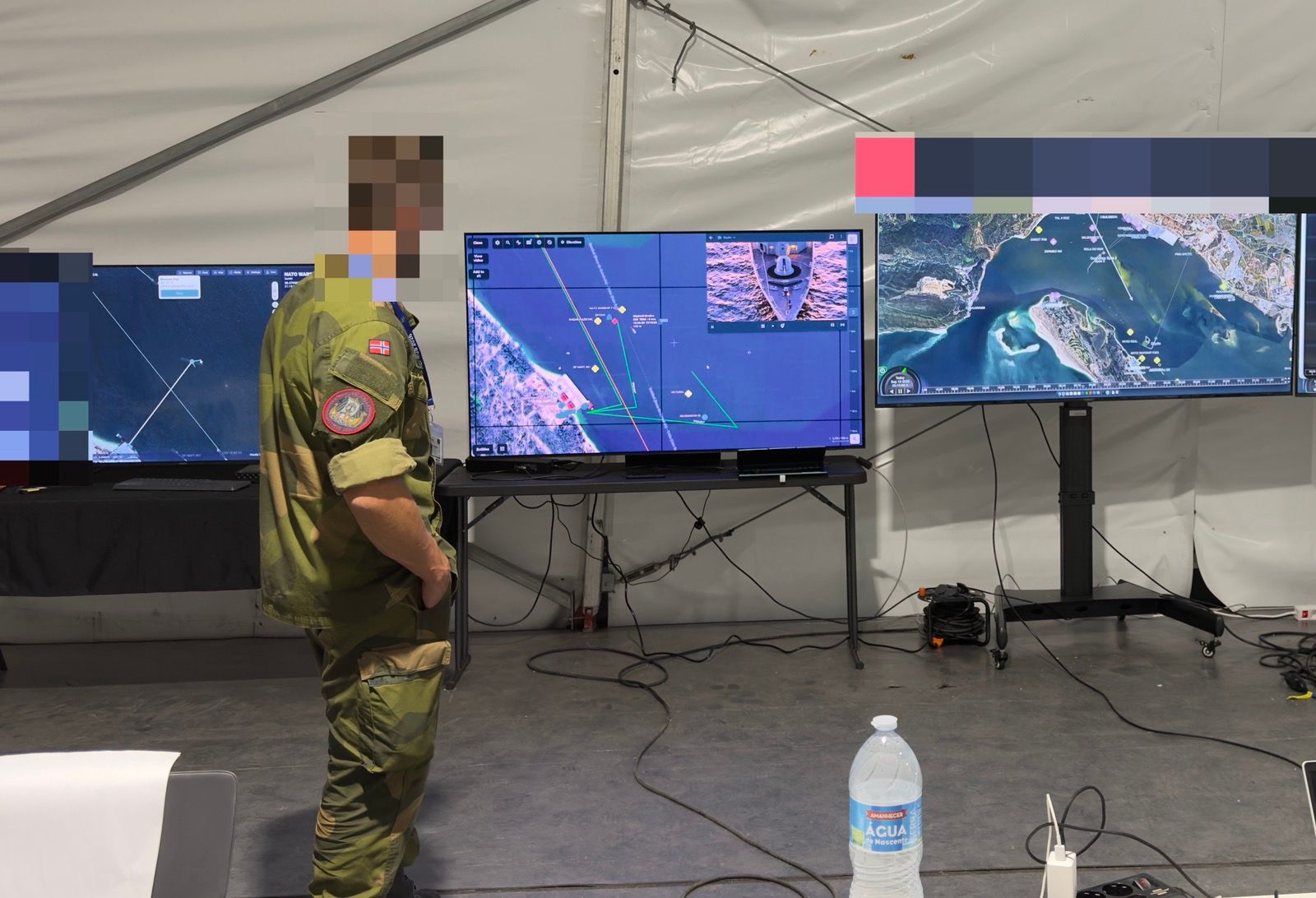
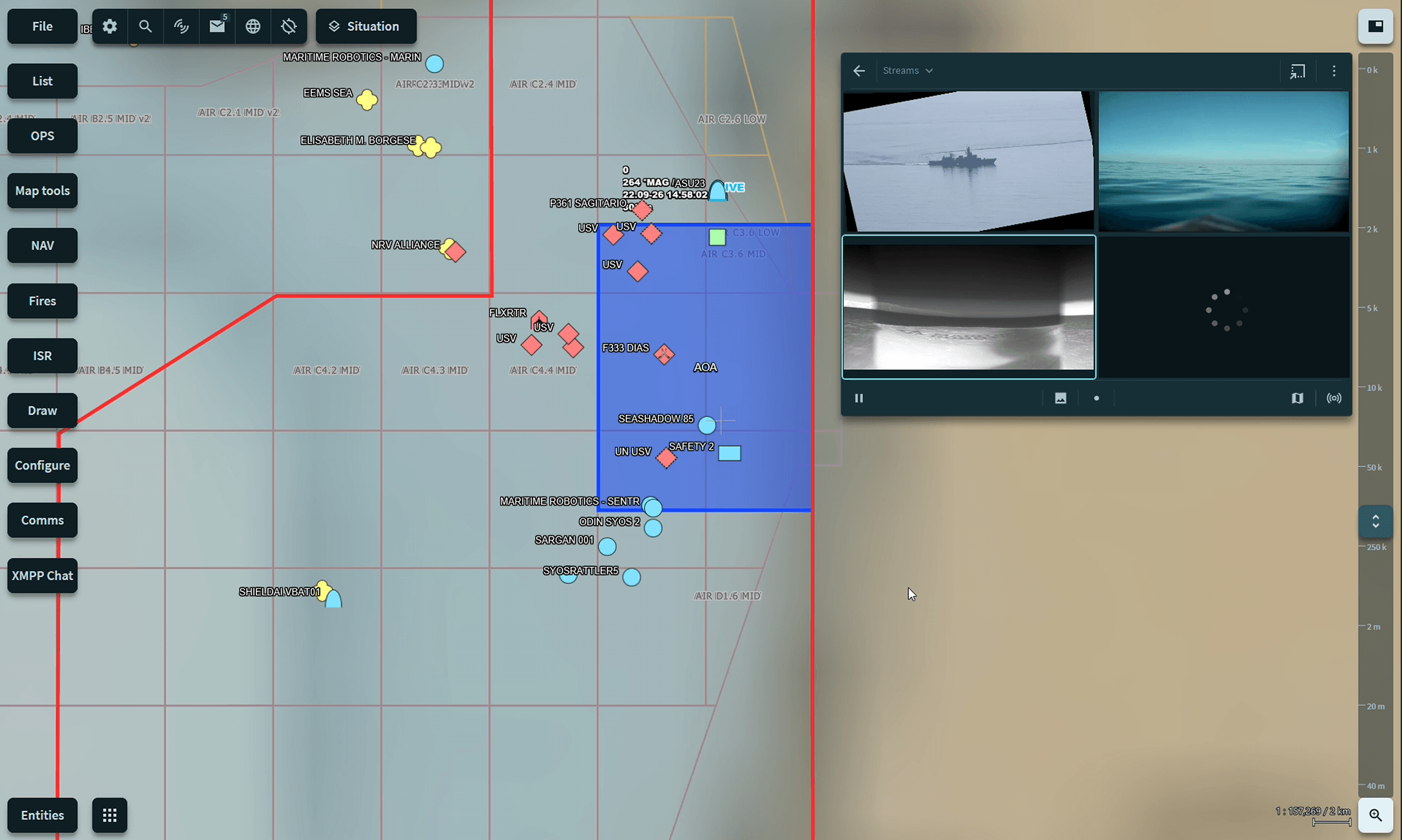
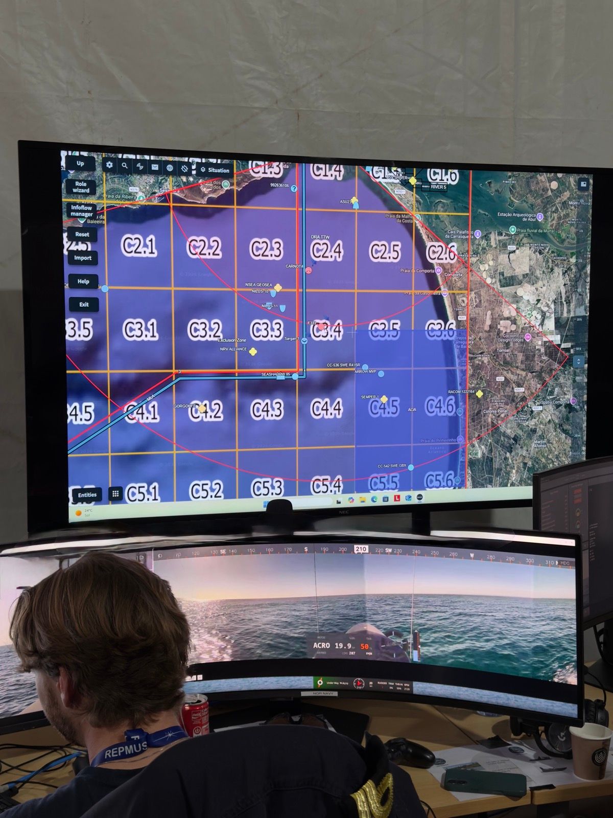
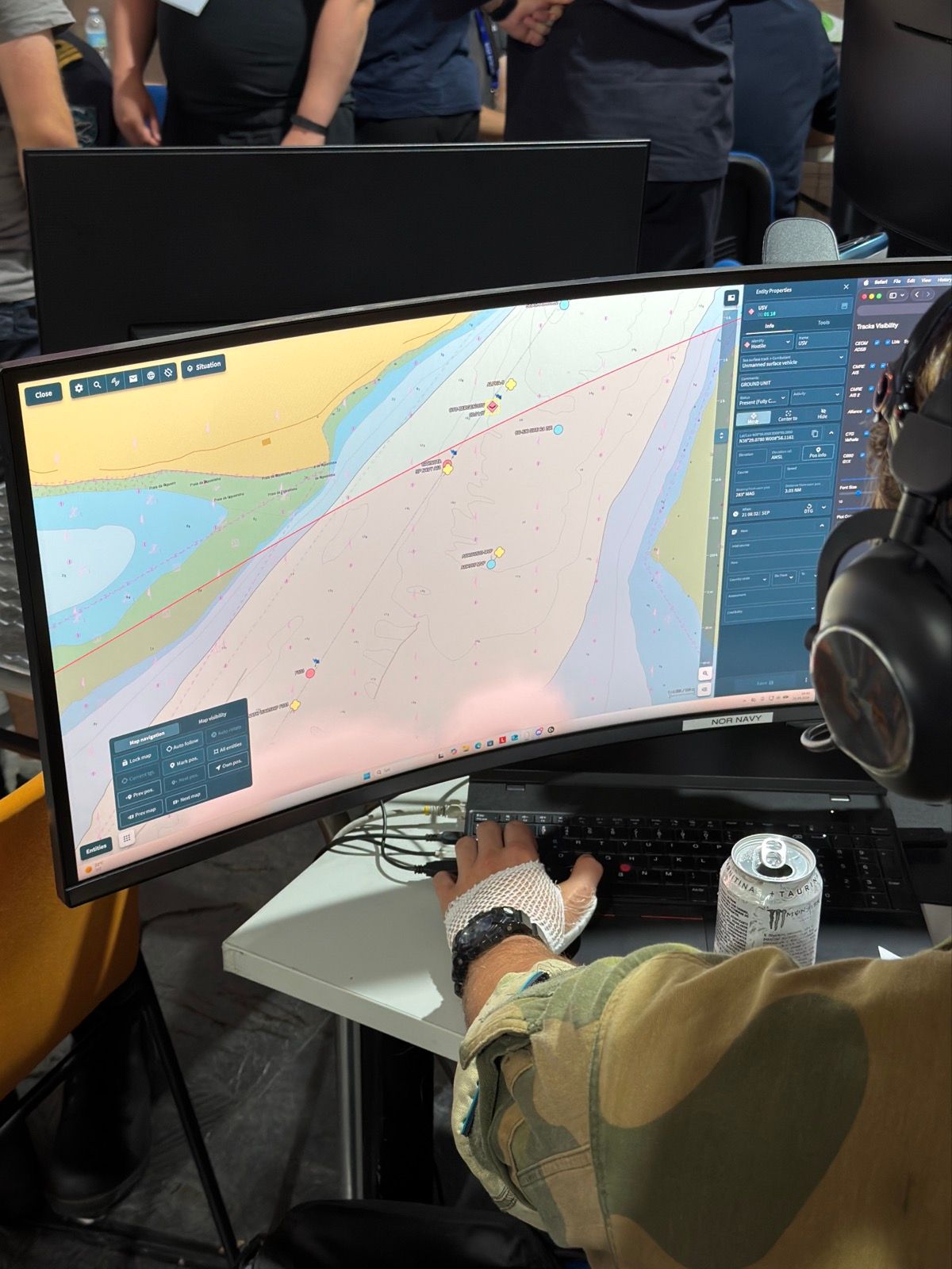
FACNAV was set up on around 25 workstations in operations rooms, with the drone operators, and in support functions. In total, Norway, Sweden and Finland operated approximately 40 unmanned systems and sensors. FACNAV brought together data from these platforms, including positional information, tracks, telemetry and live video feeds.
Operations were coordinated from a joint operations centre. With all the data gathered in FACNAV, both individual unmanned system operators and the tactical command staff had the same basis for making decisions.
Developed as they went
Teleplan had people in the operations room for much of the time. They were there to help the users and to see how the system was used in practice. That kept the path from feedback to improvement short.
Along the way, the team developed new functionality, including tools for handling information and for connecting data from additional sources. Much of the work focused on adapting FACNAV to maritime command-and-control workflows and the way naval operators plan and conduct missions at sea.
“We were able to work closely with users in a domain where we had limited experience. We could build prototypes on site, get feedback straight away and make day-to-day adjustments,” Trond explains.
Until now, Teleplan has worked mainly with land forces. Repmus gave the company new knowledge of the maritime domain and a new group of users. Rather than evaluating a finished product, the exercise allowed Teleplan and the users to develop the system together in an operational environment.
“The Navy has its own terminology, procedures and command-and-control practices. Working alongside users at sea has given us valuable insight into how maritime operations are planned and conducted. Those lessons will help shape the continued development of FACNAV.”